By Shazamme System User
•
May 26, 2026
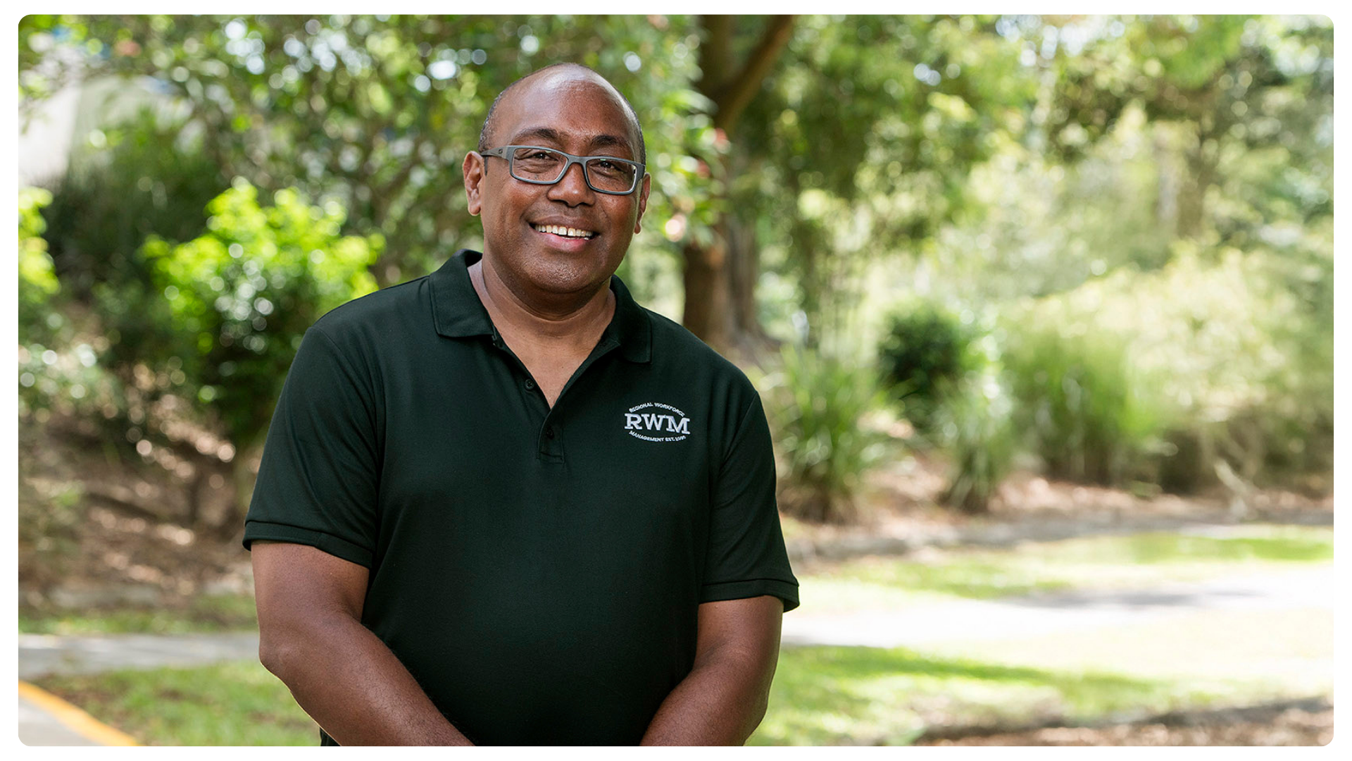
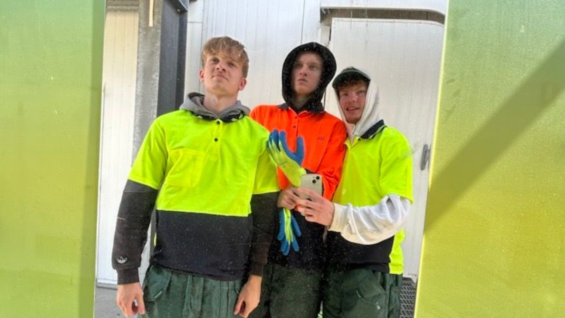
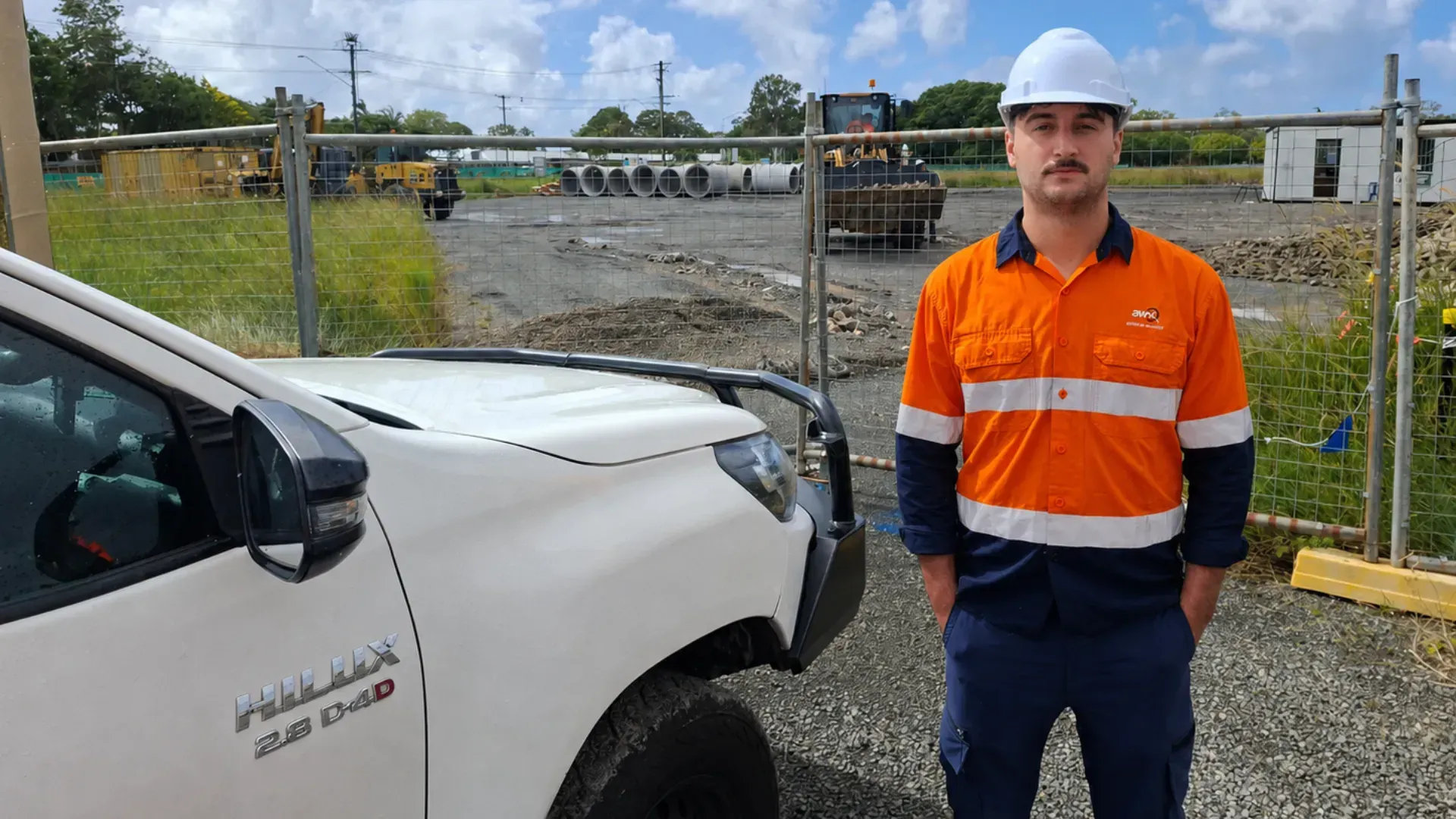
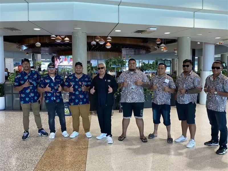
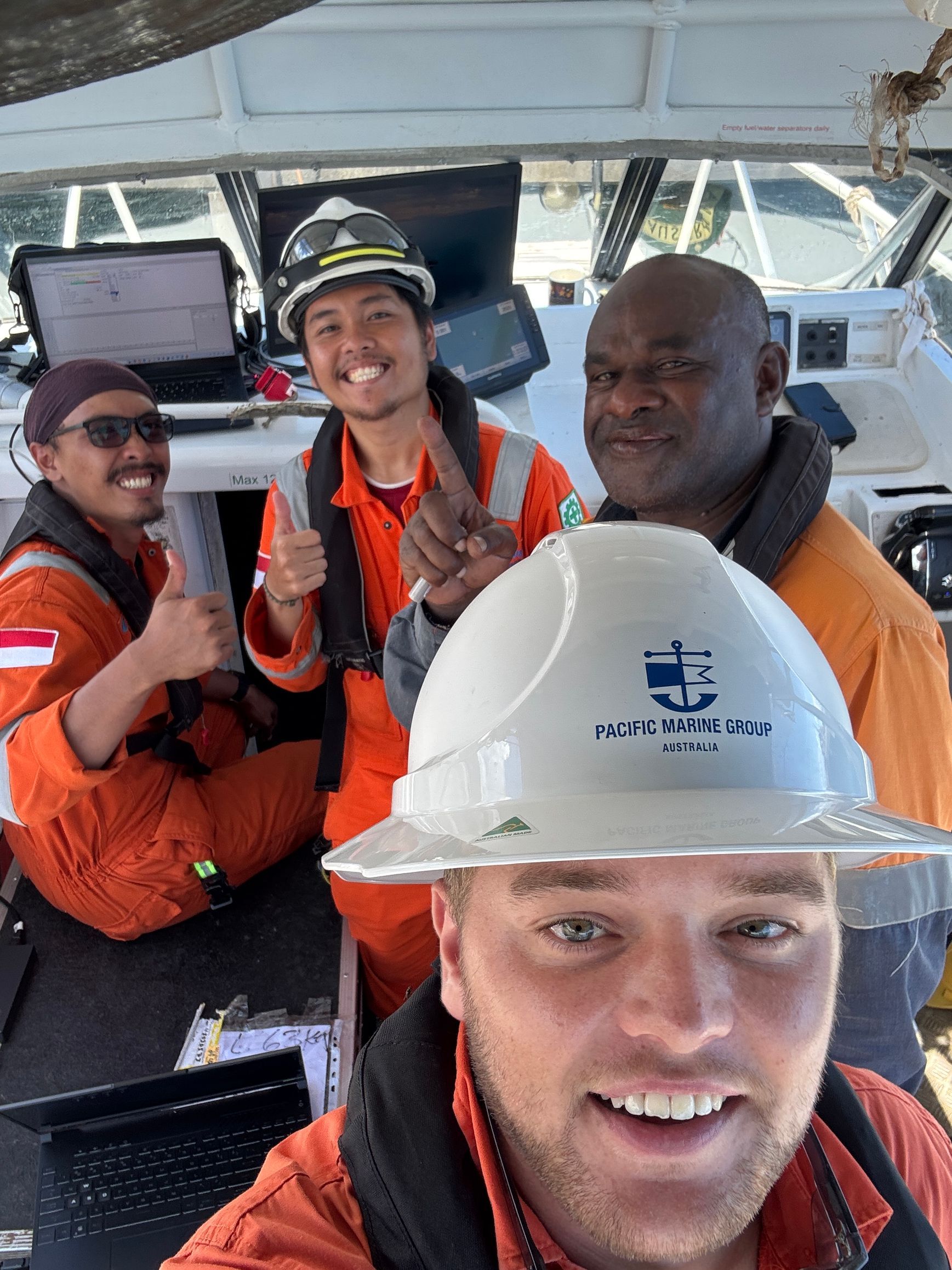
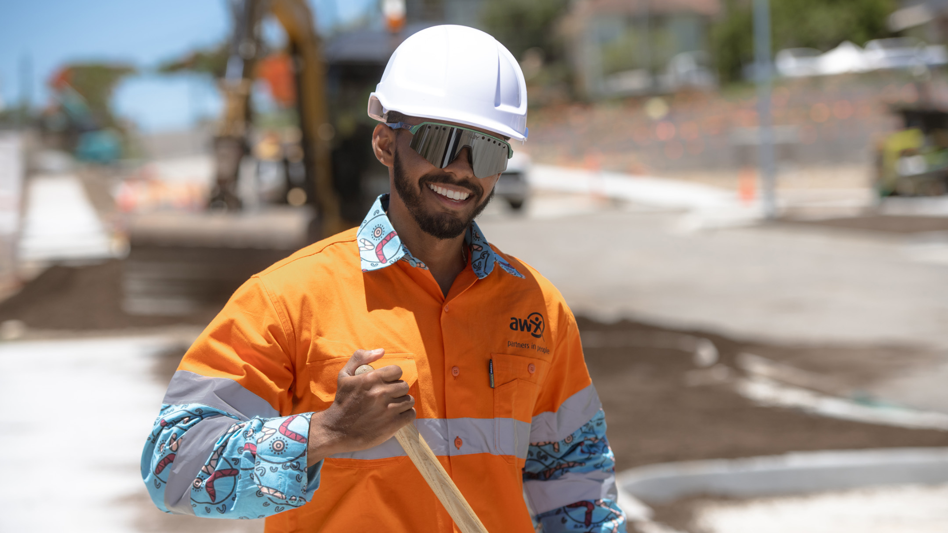
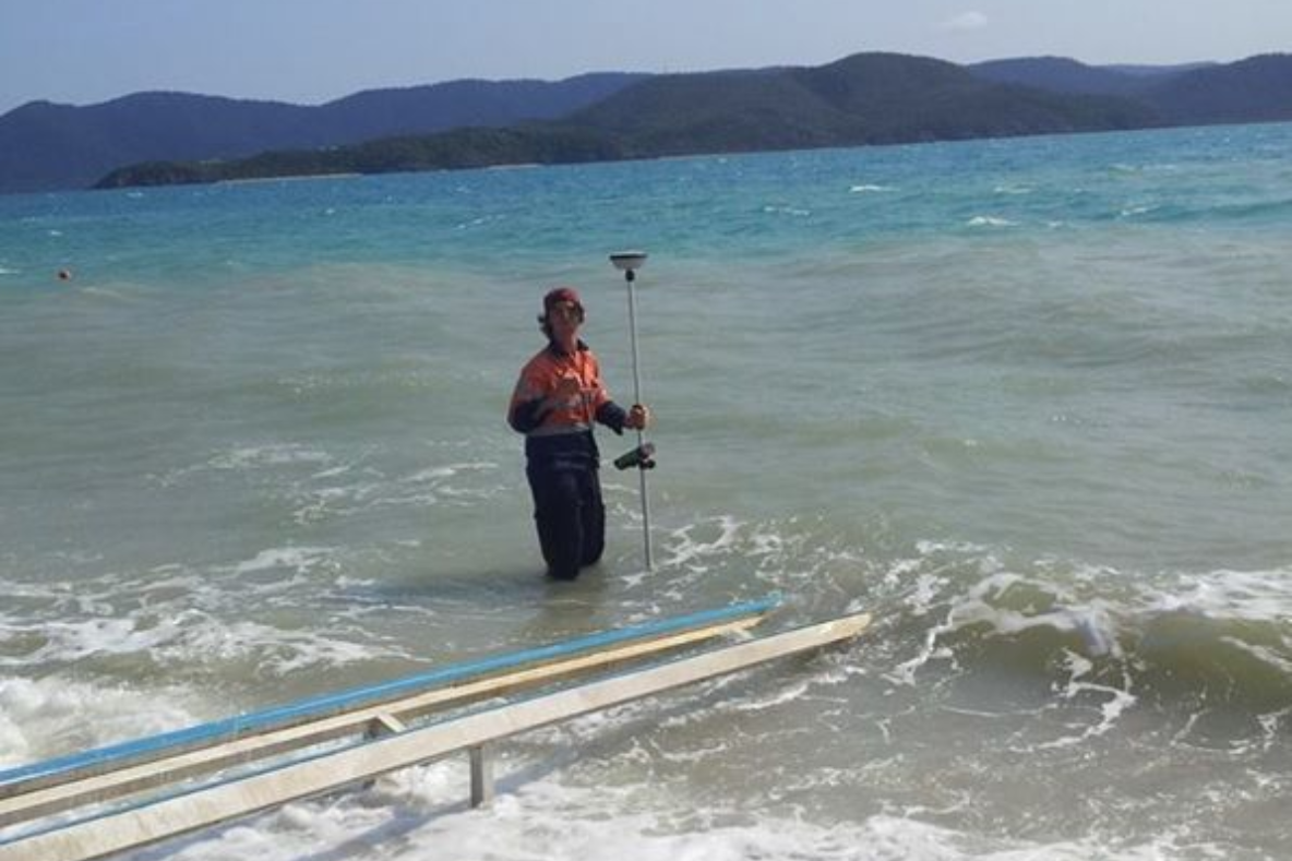
A remarkable milestone has been reached at Regional Workforce Management, the 10,000th worker through the Pacific Australia Labour Mobility (PALM) scheme has joined the team since 2019. Behind this number are thousands of personal journeys, workers leaving home, their families and villages, embracing new opportunities and building brighter futures for themselves and their families. Learning and growing together From the very beginning, the PALM scheme has been a journey of learning, together. Every worker has taught RWM something new about their culture, their communities and what matters most to them. Over time, we’ve learned how to support workers not just in the workplace, but in life in Australia: understanding their family values, value on faith and community we have helped them also with living here with pay and deductions, managing finances, sending money back home, immersing in local communities and planning toward their goals. As Lindale from the Solomon Islands, a knife hand at a Brisbane meat processing plant, explained, “If you come here you are representing your country. Set your goals and focus. You will get something out of it.” For our team, it’s been a journey too. “Naturally, there’s a learning curve,” said Brad Seagrott, Chief Executive Officer. “We’ve built systems and support over time, from arrival briefings to cultural understanding and support. Every step has made us better at what we do.” Culture and pastoral care Moving to a new country is life changing and it’s our dedicated welfare and wellbeing site teams that make the transition smoother. Available around the clock, they support workers with everything from housing and payroll to cultural, emotional and community connections. With trusted cultural welfare officers like Pa Enari, a Samoan Chief and Mick Seduadua from Fiji, our care goes beyond logistics it’s about ensuring workers feel confident, valued and at home. “We help workers find their footing, at work as well as in everyday life,” said Pa Enari. “That means navigating cultural differences, integrating into the local community, playing sports and celebrating traditions with choir, dance and cultural milestones. Our goal is to make sure every worker feels supported, that’s the RWM way.” Turning challenges into opportunity Reflecting on the last six years, the program has faced challenges along the way. From nationwide shutdown restrictions to moving workers across a vast country, each challenge has sparked innovation. We developed solutions along the way like dedicated quarantine facilities and tailored arrival programs that help workers settle into their new homes smoothly. Creating impact The PALM scheme is more than work, it’s opportunity. For families, it’s education for their children, school fees covered, homes built, businesses created, dreams realised. For communities, it’s remittances that make a real difference. Annually, $40 - $50 million is sent back home. And for the workers themselves, it’s confidence, skills and new horizons. “Being a worker under the scheme and RWM has been a tremendous experience,” said Mark Max Laesanau from the Solomon Islands. “My family and I have been blessed during the past four years especially my kids with their education obligations.” For many, the scheme also creates opportunities to grow in their careers. Sereima, from Fiji shared, “I didn’t expect to be promoted. But when the opportunity came, I took it. I reminded myself why I came to Australia. For my parents. For our home. For the goals I have for the future.” Building skills that last a lifetime The PALM scheme also offers learning. Over 1,000 RWM employees from the Pacific Islands and Timor Leste have completed Certificate II and III in Food Processing, supported by our Welfare and Wellbeing Site Managers, clients and registered trainers. Covering multiple units, the training program develops key technical skills including communication, food safety, temperature and stock management, manual handling and effective workplace practices. “It’s been a supportive and rewarding experience,” says Jeffery, a food processor at a South Brisbane manufacturer. “Lee has been there throughout the process, which made it easier to settle in and build my skills. It’s helped me grow both here and for when I return home.” Alongside technical training, workers develop essential soft skills such as communication, time management, organisation and confidence. Strong relationships, lasting Trust Central to the program’s success are the strong, lasting relationships we’ve built with government departments, Labour Sending Units and community leaders. Visiting partner countries and seeing the impact first hand has strengthened trust and created programs that truly make a difference. “We’ve built trust by showing up. Travelling to Pacific nations, sitting with families, learning about their cultures and traditions. We’ve welcomed delegations into our offices, taken them to client sites and shown them their workers thriving in Australia. Those moments of connection matter. They’ve allowed us to create genuine partnerships and ensure the program truly delivers for everyone involved,” said Brad. The arrival of the 10,000th worker is a reflection of growth, learning and connection. We’re committed to supporting every worker to achieve their dreams, continually improving the program and celebrating every journey that begins with a single step off the plane.